
.svg)

Forestry services
KTC - Komatsu Telemetry and Connectivity
Technology applied to your equipment
The KTC area is responsible for assisting forestry companies and service providers in developing technology for their businesses through data analysis and the provision of online reporting systems, supplying operational data from their forestry equipment.
The KTC technology applied to Komatsu Forest equipment provides the customer with all the necessary information for effective fleet management. This is done in a simple and safe way, through systems that Komatsu provides in its forestry equipment.

Discover our forest connectivity services.


Connectivity of Komatsu crawler equipment
Komtrax
Maintain complete operational control of your equipment by defining the work area, ensuring it operates in the designated locations and times.
Wireless telemetry system that gathers detailed information about your fleet of equipment. It provides important data about your equipment's performance during harvesting.
Maintenance conditions: Provides a detailed maintenance report, including machine stops for oil changes and parts replacement. The warning signals emitted by the machine during forestry operations are monitored by Komtrax and assist in preventive maintenance.
Problem prevention: Through alarms, the system assists the operator in identifying machine problems by monitoring the engine coolant temperature. When the temperature exceeds the limits, it helps protect the machine from more expensive repairs, in addition to the initially compromised area.
Machine monitoring: Through Komtrax, it is possible to monitor the activities performed with the machine, such as operating time, idle periods, or unscheduled tasks.
Reducing the risk of theft: Komtrax monitors the location of your machines at any time, allowing it to be used to prevent the engine from starting in cases of attempted theft.
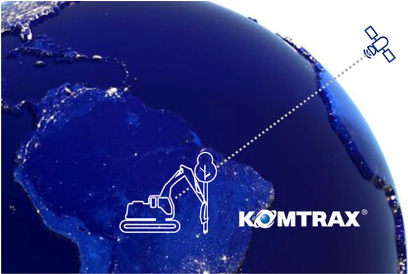
What Komtrax delivers to you
- Machine operating time
- Fuel consumption
- Hydraulic pressure
- Energy saving guidelines
- Machine efficiency
- Tracking
- Daily data in real time.
- Maintenance history
- Hour meter
- Warning alert
- Maintenance planning
- Email notification
- Monthly reports
- Engine lockup
- Localization during transport
- Simultaneous fleet monitoring

Connectivity of wheeled harvester and forwarder equipment (Smart Forestry)
- Fleet monitoring
- Vision
- Precision
Select continent
Fleet Monitoring
The intelligent platform provides full access to machine data for registered users, including alarms, alerts, diesel consumption, operating hours, production, and total displacement during the period. Important data for measuring operational deviations and adjusting targets in forestry operations, improving equipment performance.

Vision
Management of embedded maps linked to operations, whether for production, machine layout, operational limits, or alerts (electronic fences).
The harvester operator can plan suitable access routes, machine waypoints, and cutting areas based on the conditions of the work site. The forwarder operator can view production in each work zone and optimize the transfer to avoid unnecessary deviations.

Precision
Precision uses the latest satellite positioning technology to determine the machine's position with a margin of error of only a few centimeters. This opens up possibilities for a productive and intelligent way of working in which you, as an operator, obtain important information and support to make wise decisions.
You can create digital boundaries around your workspace or protected areas and receive warnings if the machine gets too close to the boundary. Thanks to high precision, the machine's crawlers and sorting codes can be clearly visualized, and you can also show the exact position of the processed logs, making it easier for the forwarder to see. When planning thinning routes, line following with navigation support is a great help, as it helps you stay on the planned route.
The position of the machine and crane is determined by GPS with GNSS precision applied.

Choose your Smart Forestry
Fleet Monitoring
-
 Plan to achieve better results
 -
Work from anywhere with ease
-
Access all your machine's data in one place
-
Compare fuel consumption and production
-
Create monthly reports with ease
-
Get remote support and updates
Vision
-
Share information quickly and easily
-
Collaborate seamlessly between operators
-
Monitor production
-
Visualize boundaries and areas on the map
-
Access vital information instantly.
-
Make informed decisions
Precision
-
Make your work easier with precise positioning
-
Navigate with realistic map conditions
-
Work with precision in protected areas
-
Follow predefined paths with precision
-
Visualize tracks and progress
-
Maximize work efficiency